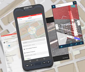
Web App TopoGrafi Captures Buried Asset Data for Utility and Infrastructure Sectors
April 16, 2020 by Susan Smith
MGISS, a Liverpool, UK geospatial specialist, released a new version of its web app TopoGrafi that allows for the display of 3D data in real world models. With enhanced 3D data processing capabilities, TopoGrafi is an end to end platform for capturing buried asset data and processing it for visually revealing and interactive Augmented Reality visualizations. Specifically aimed at the utility and infrastructure sectors, TopoGrafi is already helping organizations in water and highways sectors enhance asset location data, improve on-site safety and reduce construction and maintenance costs.


