A mess in Boston? Moon navigation? GNSS to the rescue                                        
View in Browser   |   Forward to Friend
Facebook   Twitter   YouTube   LinkedIn   Instagram
GPS World

AUTONOMOUS ARENA


INSIGHTS


hoto: Lance Cpl. Frank Cordoba/U.S. Marine Corps

A mess in Boston? Moon navigation? GNSS to the rescue

By Tony Murfin
This month our UAV and GNSS news ranges from a drone diving into the Boston subway to a GNSS receiver to orbit the Moon.


View Here
 

NEWS


Photo: EUSPA

Nikolina satellite enters service as part of Galileo

After a challenging early orbit phase during the COVID-19 pandemic, Galileo satellite “Nikolina” has entered service.

 
View Here
 

Downed Russian jets found with GPS receivers taped inside


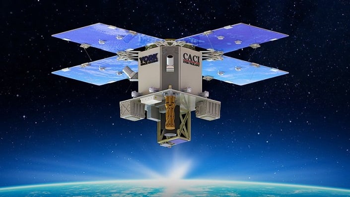
Photo: CACI

CACI to demonstrate time-based navigation to support GPS

CACI International plans to demonstrate a supporting navigation technology for military use as part of its DemoSat launch in January 2023.

 
View Here
 

Tersus GNSS releases white paper on ExtremeRTK Technology


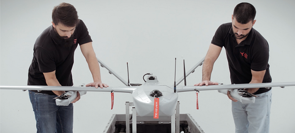
Photo: Wingcopter

FAA approves airworthiness criteria for Wingcopter delivery drone

The U.S. Federal Aviation Administration (FAA) has issued the Special Class Airworthiness Criteria for the Wingcopter 198 U.S. unmanned aircraft.


Photo: Wingcopter

Tallysman adds eXtended Filtering (XF) to dual-band GNSS antennas

Tallysman has designed the XF feature to mitigate interference from all near-band signals and ensure that the antenna provides the purest GNSS signals.


Photo: DJI

DJI introduces Mini 3 Pro camera drone

DJI has introduced the DJI Mini 3 Pro, its most powerful lightweight and portable camera drone. It delivers advanced features.

 
View Here
 

Septentrio expands product portfolio for marine market


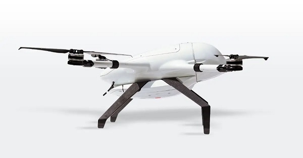
Photo: Tekever

Tekever launches AR3 hot-swappable VTOL and integrated SAR

Tekever, a European maritime surveillance provider, has unveiled a new version of its AR3 unmanned aerial system (UAS), with new VTOL capability.

 
View Here
 

Auterion delivers new high-precision UAV mapping capabilities


Photo: Eurolink

Eurolink Beluga drone to embed uAvionix George autopilot

Eurolink Systems has finished integrating avionics from uAvionix in its Beluga family of drones.

 
View Here
 

UAV Navigation puts Vector-600 autopilot through paces


FROM THE MAGAZINE

SUBSCRIBE TO GPS WORLD


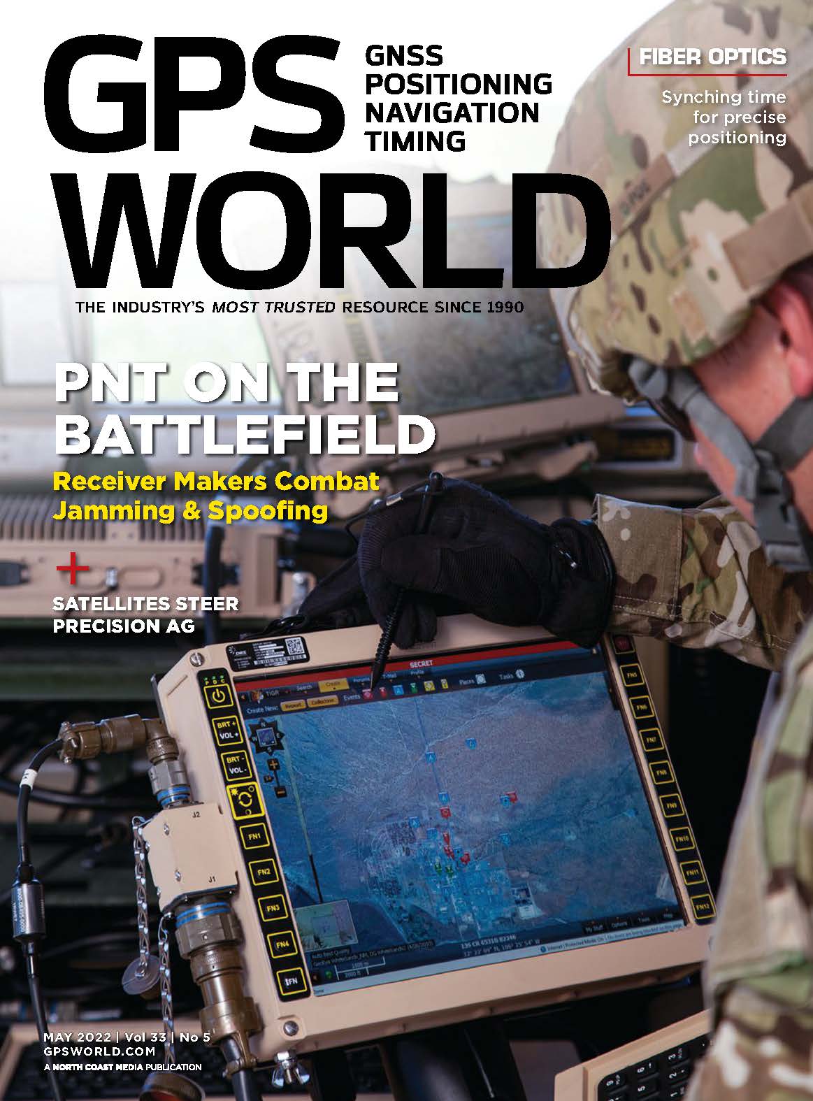
GPS World Magazine


Tightening the bond between lidar and INS breaches new round

By Simon Harris
Recent market analyses indicate that lidar surveying is a multi-billion dollar industry that is expected to deliver sustained growth for years to come.


Realism in chamber-based CRPA testing


View Here
 
Facebook   Twitter   YouTube   LinkedIn   Instagram
You are currently subscribed to Autonomous Arena as [email protected]
Change your subscription preferences  •  New subscriber sign-up  •  Unsubscribe  •  Privacy Policy
Editorial contact: Tracy Cozzens  •  Advertising contact: Todd Miller
GPS World is a property of North Coast Media, LLC.
1360 E. Ninth St., 10th Floor, Cleveland, OH 44114
© 2022 North Coast Media. All Rights Reserved.
Reproduction in whole or in part is prohibited without written permission.
- - - - - - - - - - - - - - - - - - - - - - - - - - - - - - - - -